


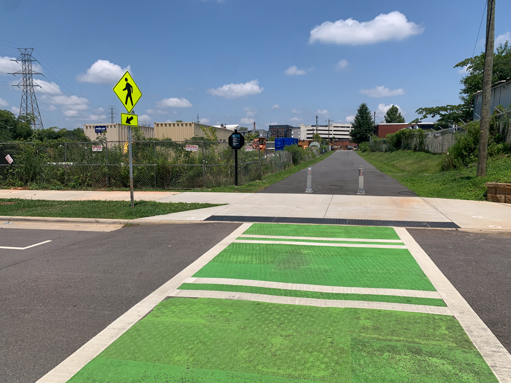
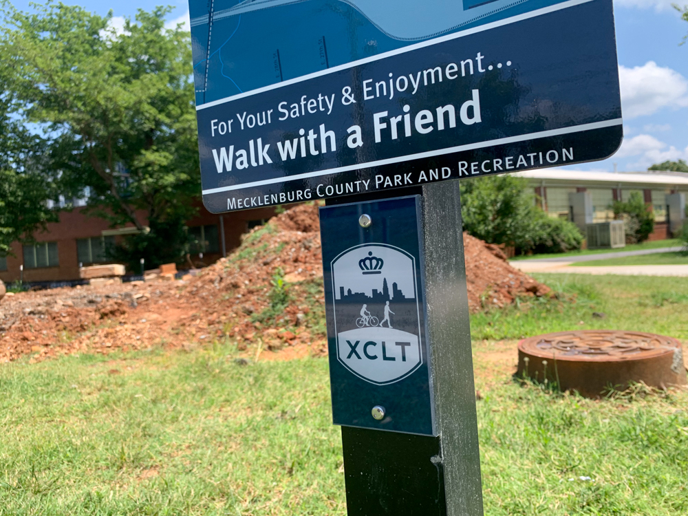
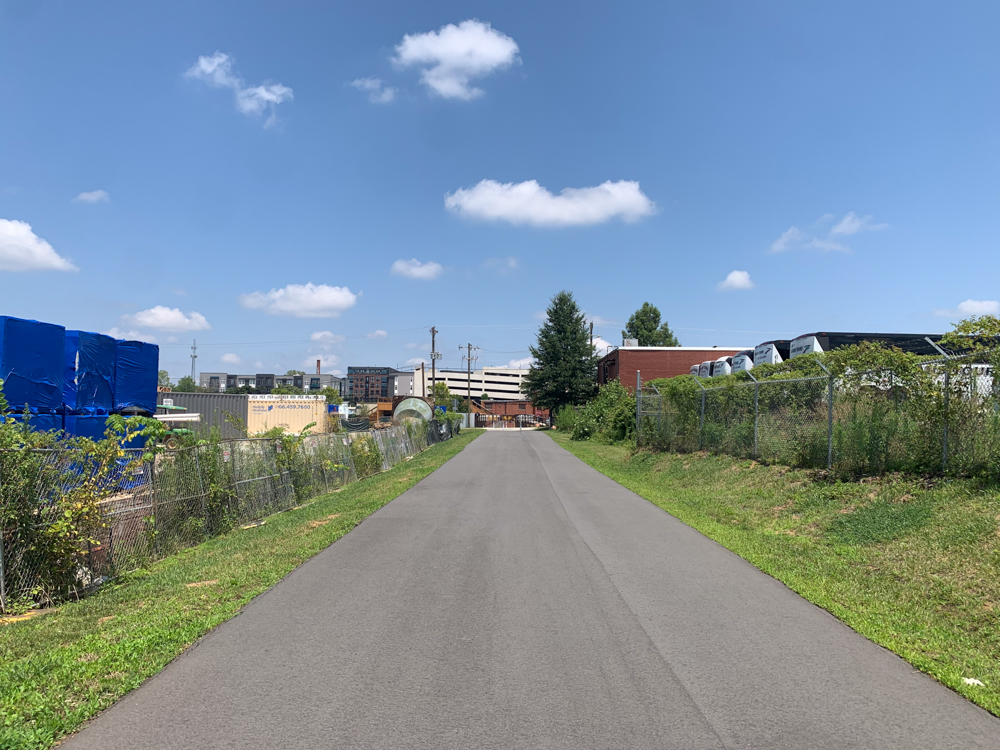
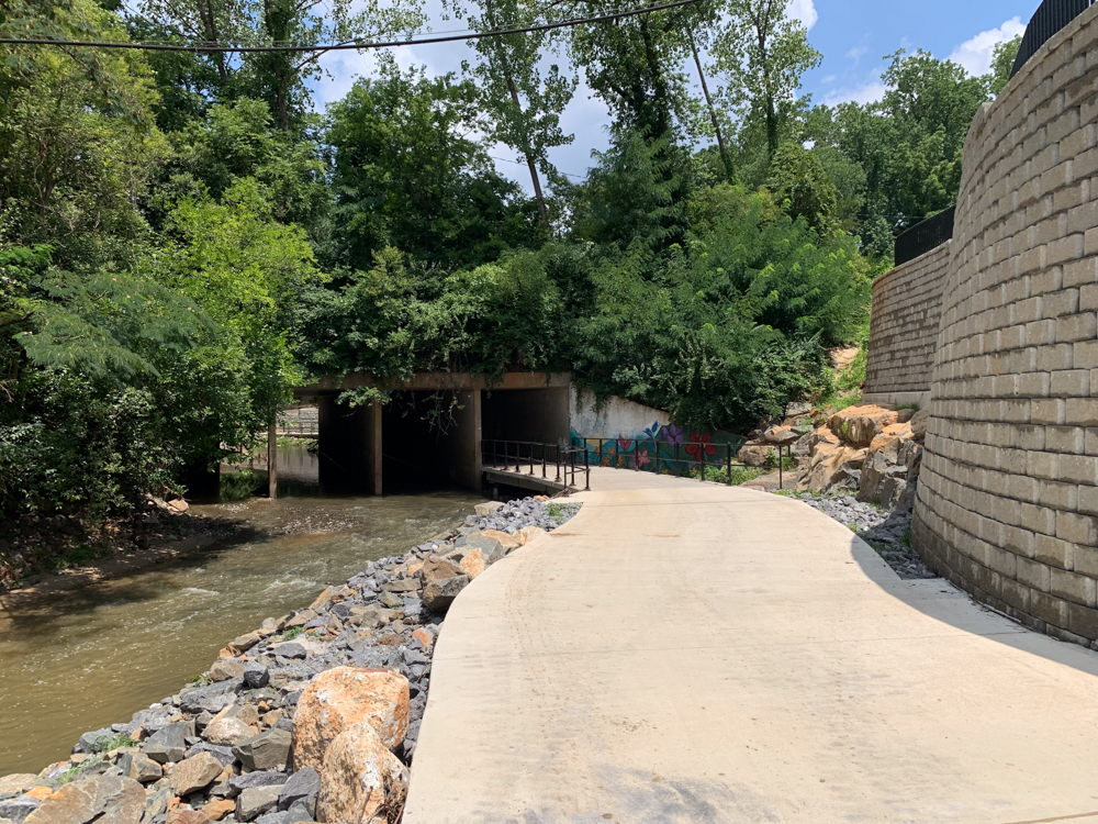
Piece by piece, the Cross Charlotte Trail – or XCLT, as it’s known – continues to come together. Over the last several years, the City and Mecklenburg County have worked on this system of interwoven trails and greenways, stretching over 30 miles. Upon completion, the Cross-Charlotte Trail will run from Pineville through Uptown, all the way to the UNC Charlotte campus and the Cabarrus County line.
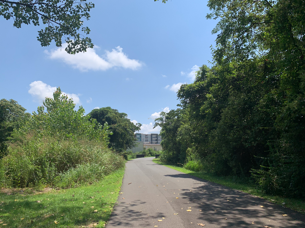
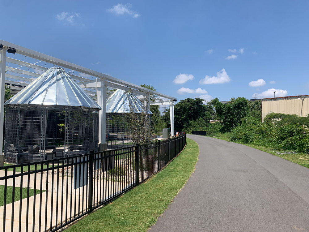
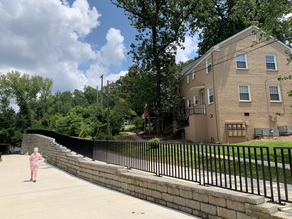
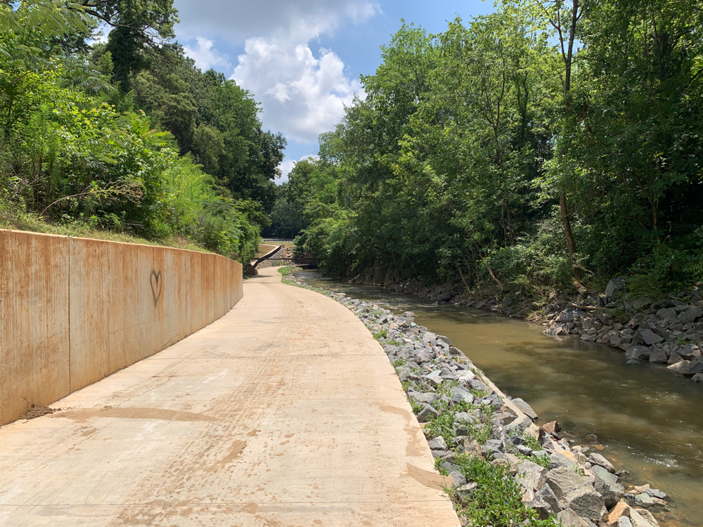
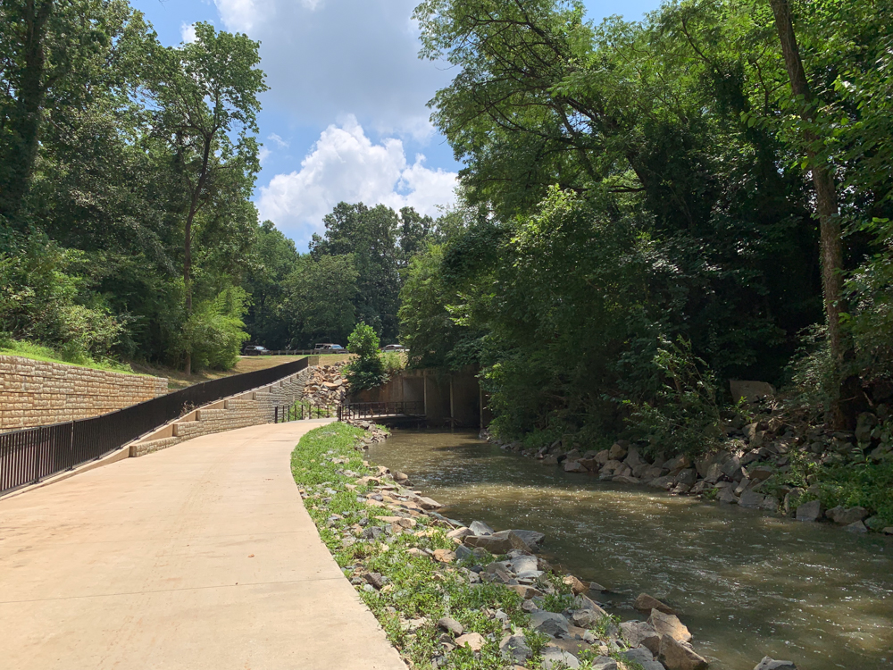
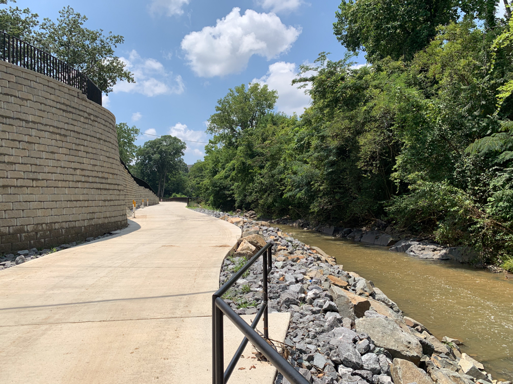
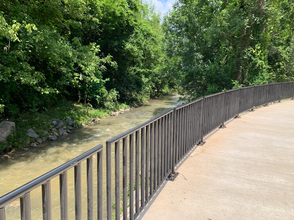
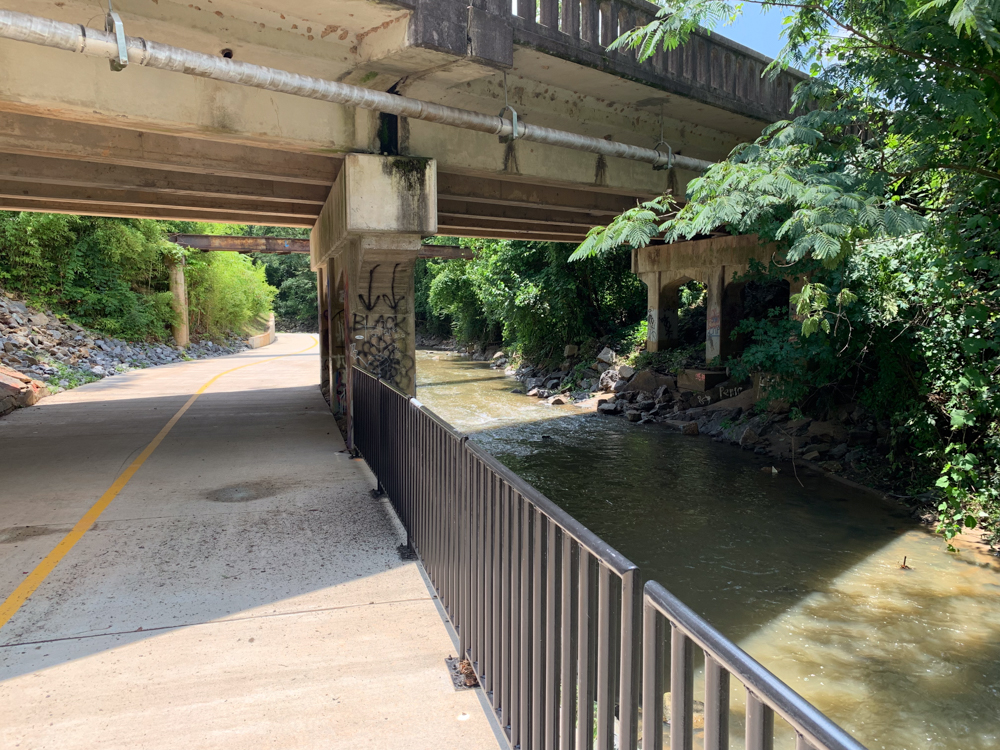
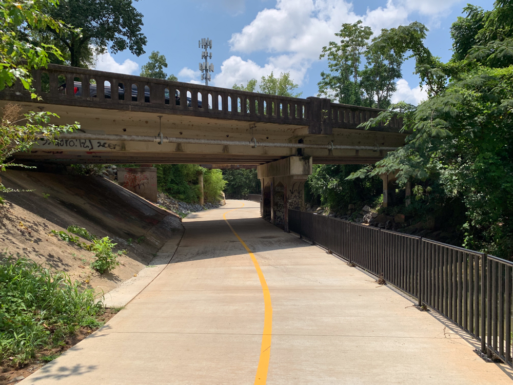
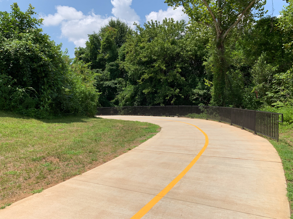
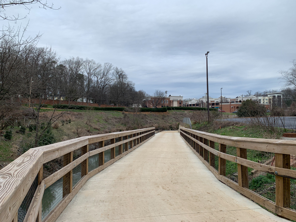
A highly-visible and long-anticipated section from Brandywine Road behind Park Road Shopping Center to Tyvola Road officially opened with a ribbon-cutting event July 27th. The $26.5 million, 1.54 mile project completes Segment 2 of the XCLT.
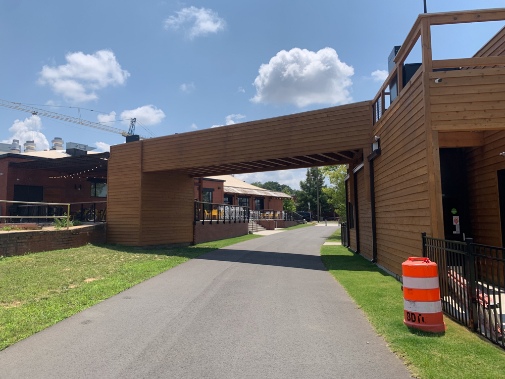
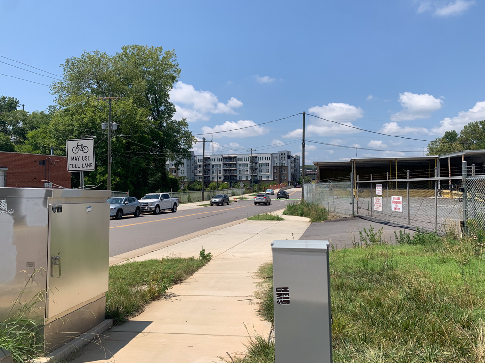
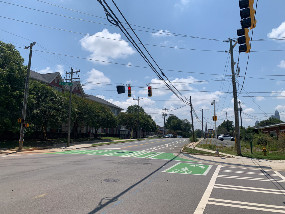
The XCLT is one of Charlotte-Mecklenburg’s most pedestrian-centric projects yet. The trail itself is actually 11 separate and unique projects and a bicycle boulevard that will make up a continuous path. A reported 140,000 residents and 130,000 jobs and businesses are within walking distance of a trail entrance or connector.
“Fostering safe, efficient, connectivity throughout Charlotte and Mecklenburg County is an essential part of ensuring equitable access to parks and green spaces,” said Beth Poovey, Partners for Parks president. “The Cross-Charlotte Trail is an integral part of that connection.”
Charlotte regularly ranks near the bottom of lists rating larger cities for walkability and pedestrian-friendly or car-free infrastructure. Arguably, much progress has been made over recent years with additional stretches of greenway opening, sidewalk projects, the trolley line, and more bike lanes.
“Pockets of Charlotte are fairly walkable,” Sustain Charlotte’s Meg Fencil told WFAE, “but most of those are areas close to uptown.”
The XCLT is a unique partnership between the City of Charlotte and Mecklenburg County toward achieving greater walkability county-wide.
“It fits into the City’s overall transportation vision,” said Tabitha Warren, Senior Communications Specialist for the XCLT Project. “To connect people motor-free, car-free, to give them as many transportation options as possible. The XCLT is just one of the pieces of the puzzle with regard to offering those options.”
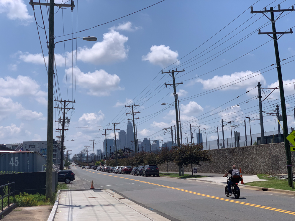
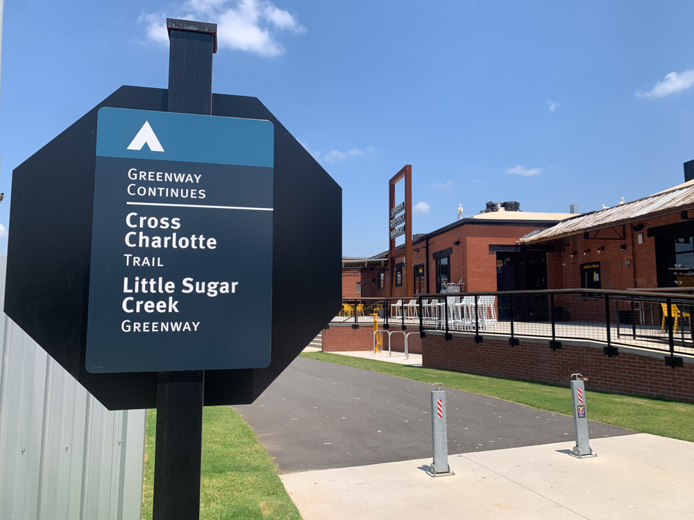
While you can join the journey from virtually anywhere in town, the XCLT technically “begins” along Park Road at the South Charlotte Connector. From there, the Connector joins McMullen Creek Greenway and Sugar Creek, before breaking for the completed Brandywine and North Davidson sections of the trail.
The latter sections of the trail will stretch from Matheson Avenue to Kempsford Drive, crossing through East Craighead Road and North Tryon and up to Mallard Creek on the way. These additions are scheduled for completion sometime in late 2028.
You can follow the project’s progress here: https://www.charlottenc.gov/Growth-and-Development/Projects/XCLT


News You May Be Interested In
On Growth, Equity, and Partnerships
Our interview with Corey King; Director, Matthews Parks, Recreation & Cultural Resources The Charlotte area is full of…

Growing Our Greenways – Faster
Dennis Markatos-Soriano grew up playing in the creeks in rural Chatham County. North Carolina. As he puts it, the experience of…
From the Director’s Office
Our Interview with Lee Jones; Director, Mecklenburg County Park and Recreation Expect a busy spring for Mecklenburg County Parks;…
BIG Happenings on Little Sugar Creek Greenway
Spring in the Charlotte area is generally a lovely, albeit unpredictable, time of year. Along with the warming weather and change…

Charlotte Flights Wraps a Successful Season
Every investment that we make in our local parks is an investment in our future and in order to keep that future bright Partners…