



 So while you were exploring your own favorite trail, some new connections have opened up:
- Barton Creek Greenway: 0.7 miles
- Walker Branch (to Smith Rd): 0.6 miles
- Plum Creek Greenway: 0.66 miles
- Little Sugar Creek Greenway: Replacing an existing trail through Huntingtowne Farms Park, replacing a bridge across the creek, and adding a connector into the Starmount neighborhood
 Connections that bring separate greenway sections together get a lot of attention, too — especially those on the Cross Charlotte Trail, or XCLT. Right now, cyclists and pedestrians enjoy riding the XCLT/Little Sugar Creek Greenway from Midtown Square to Freedom Park, over some Shared Streets and on-street connectors, and then on to Park Road Shopping Center. A gap from that point to the next pick-up at Tyvola Road, known as the “Brandywine to Tyvlola” section, is in the works for early 2022. There’s even a cool 3D flyover of the path on the county’s site: https://charlottenc.gov/Projects/Pages/XCLTBrandywineTyvola.aspx
From Tyvola, the Little Sugar Creek Greenway is smooth sailing all the way to I-485, with a new section reaching the Polk Birthplace Historic Site and the South Charlotte Connector very, very soon. That connection will allow access between the Little Sugar Creek Greenway/XCLT and another 5.5 miles of trails that are part of McMullen, Lower McAlpine, and Four Mile Creek Greenways.
Can you imagine riding greenways from NoDa to Rea Road in one trip? Yeah, we’re smiling too. Here’s the current timetable, with links, from Lloyd:
Connections that bring separate greenway sections together get a lot of attention, too — especially those on the Cross Charlotte Trail, or XCLT. Right now, cyclists and pedestrians enjoy riding the XCLT/Little Sugar Creek Greenway from Midtown Square to Freedom Park, over some Shared Streets and on-street connectors, and then on to Park Road Shopping Center. A gap from that point to the next pick-up at Tyvola Road, known as the “Brandywine to Tyvlola” section, is in the works for early 2022. There’s even a cool 3D flyover of the path on the county’s site: https://charlottenc.gov/Projects/Pages/XCLTBrandywineTyvola.aspx
From Tyvola, the Little Sugar Creek Greenway is smooth sailing all the way to I-485, with a new section reaching the Polk Birthplace Historic Site and the South Charlotte Connector very, very soon. That connection will allow access between the Little Sugar Creek Greenway/XCLT and another 5.5 miles of trails that are part of McMullen, Lower McAlpine, and Four Mile Creek Greenways.
Can you imagine riding greenways from NoDa to Rea Road in one trip? Yeah, we’re smiling too. Here’s the current timetable, with links, from Lloyd:
- Little Sugar Creek Greenway/XCLT (7th to 10th) (completed by City): 0.5 miles: https://charlottenc.gov/Projects/Pages/XCLT7thto10th.aspx Projected for completion in late 2021
- Little Sugar Creek Greenway/XCLT (Brandywine to Tyvola) (completed by City): 1.5 miles: https://charlottenc.gov/Projects/Pages/XCLTBrandywineTyvola.aspx Projected for completion in late 2021/early 2022
- Little Sugar Creek Greenway/XCLT (Polk to State Line): 2.9 miles: https://charlottenc.gov/Projects/Pages/XCLTPolkToSC.aspx Projected for completion in mid 2022
 Mecklenburg County’s greenway system is now being viewed as an important link to the region’s transportation system in the 2040 plan. Commuting never looked healthier, and connections to public transportation are getting easier than ever. Lloyd calls the next 100 miles of greenways “transformational” for the city.
“That can really change how people move around – when you have a protected network separate from cars,” says Lloyd. “It changes how you move around the city.”
So maybe the analogy about trains and greenways isn’t so far-fetched. With the Lynx light rail line being an important transportation mode for Charlotte’s future, and greenways designed as accessible connections to get to it, they’re both really rolling!
Mecklenburg County’s greenway system is now being viewed as an important link to the region’s transportation system in the 2040 plan. Commuting never looked healthier, and connections to public transportation are getting easier than ever. Lloyd calls the next 100 miles of greenways “transformational” for the city.
“That can really change how people move around – when you have a protected network separate from cars,” says Lloyd. “It changes how you move around the city.”
So maybe the analogy about trains and greenways isn’t so far-fetched. With the Lynx light rail line being an important transportation mode for Charlotte’s future, and greenways designed as accessible connections to get to it, they’re both really rolling!


News You May Be Interested In

North Carolina General Assembly Approves Historic Trails Investment
North Carolina General Assembly Approves Historic Trails Investment Raleigh, NC (September 26, 2023) – The North Carolina General…
Five Great Hikes for Fall
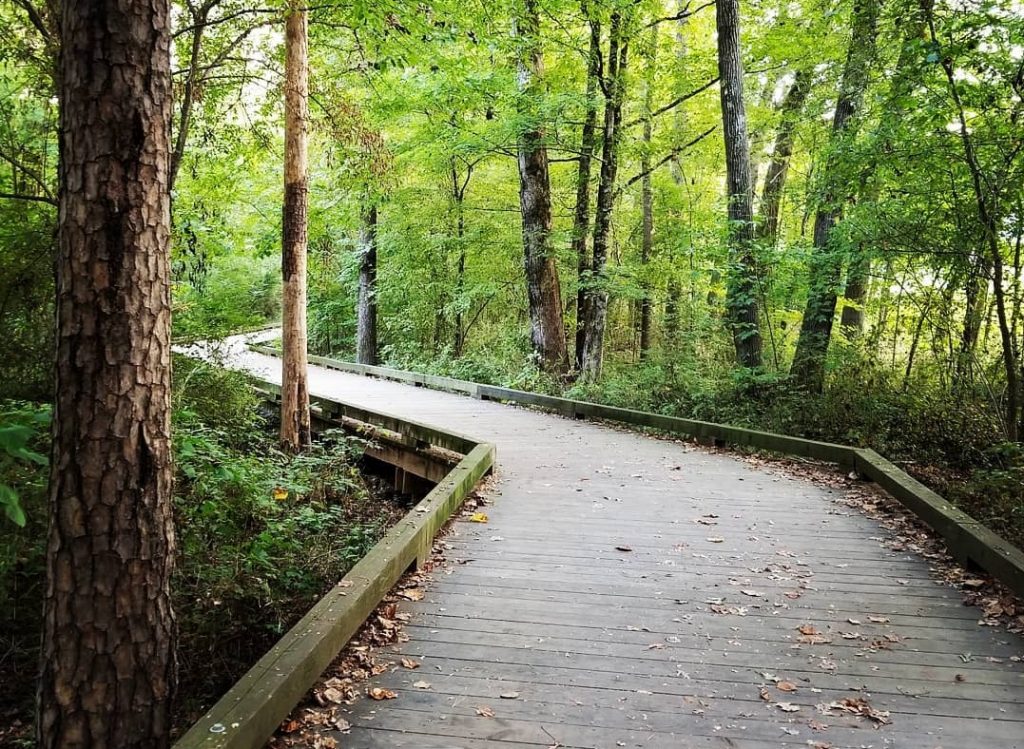
Five Great Hikes for Fall As we enter the final quarter of this “Year of the Trail,” it’s fair to say that Fall may be the best…
Corridors Connect Resurrects Open Streets Events
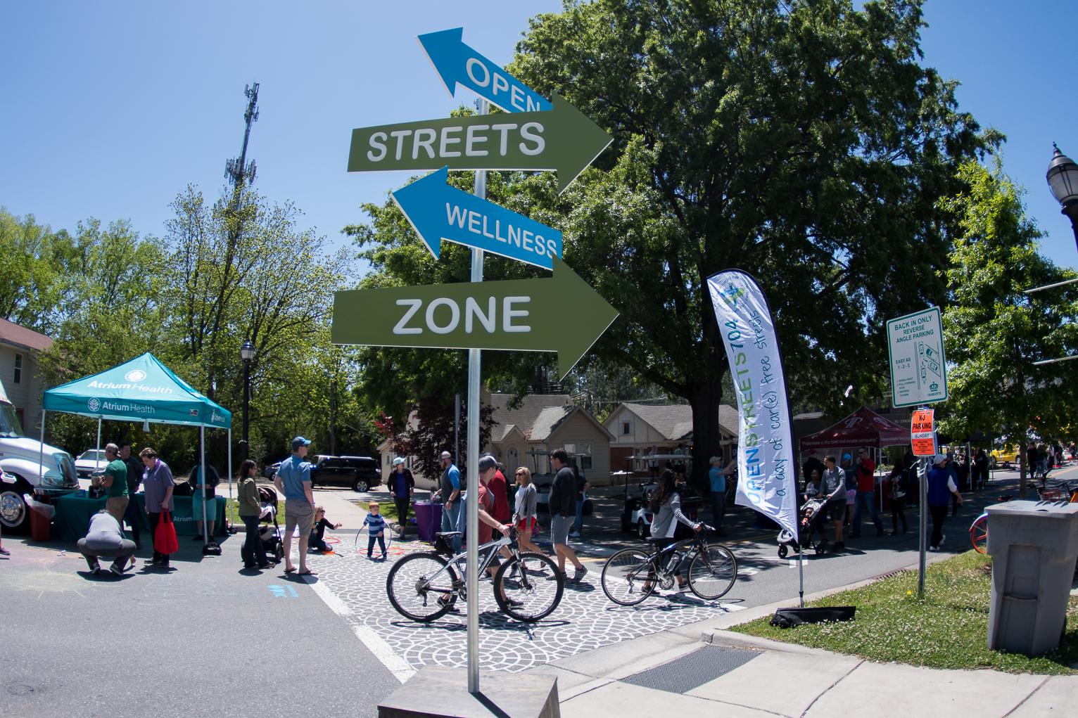
One of Charlotte’s most-popular community get-togethers returns this fall! The City’s Corridors of Opportunity program partners…

Longtime Partner Dr. Tony Zeiss Receives National Recognition
Dr. Tony Zeiss has been awarded the Medal of Honor by the Daughters of the American Revolution (DAR); the most prestigious honor…
Cross Charlotte Trail Continues to Make Connections
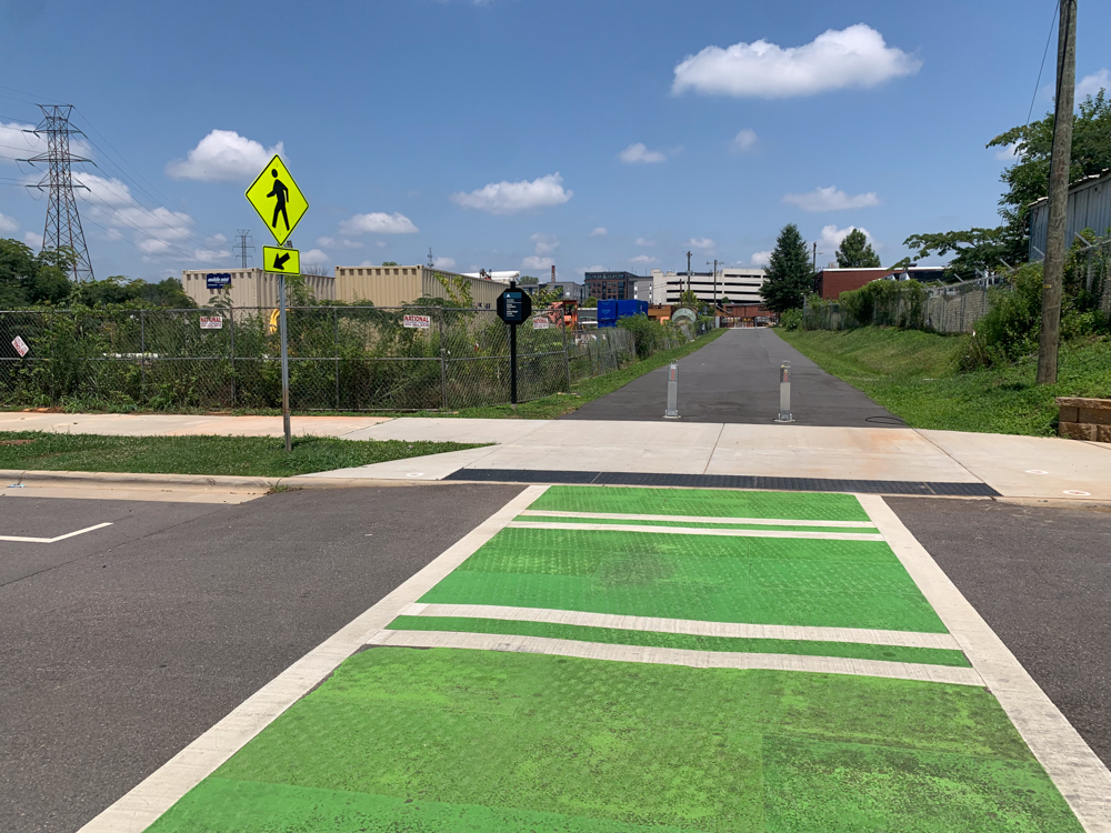
Piece by piece, the Cross Charlotte Trail – or XCLT, as it’s known – continues to come together. Over the last several years, the…
Grand Reopening at Independence Park
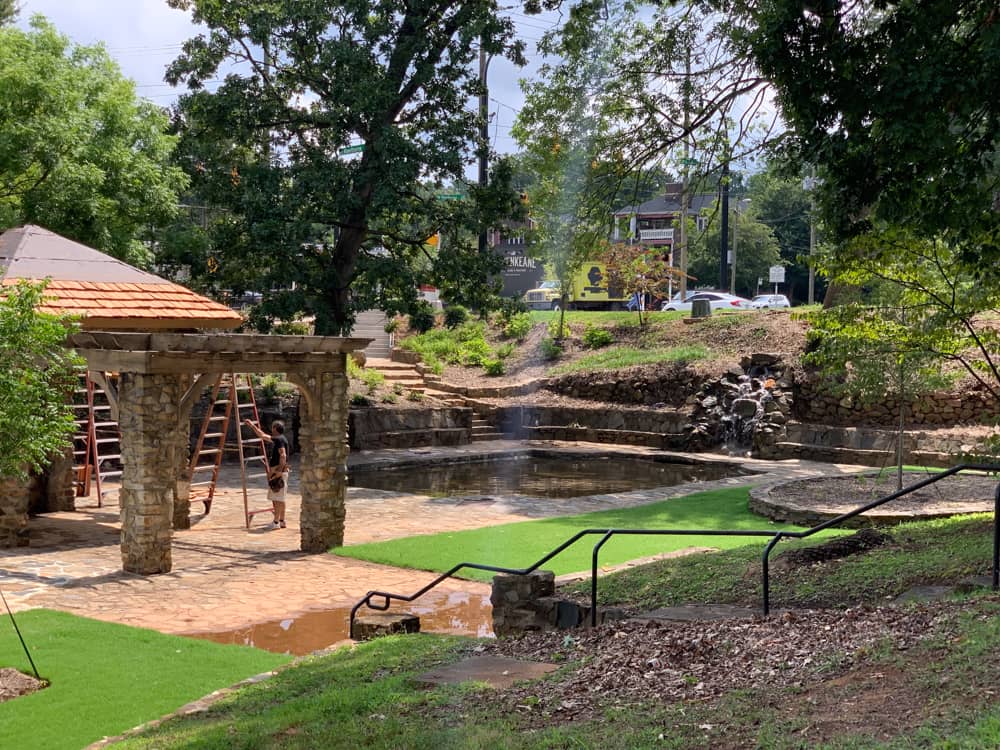
Renovations are complete, and the Queen City’s oldest public park has finally reopened to the public -- with more than a shiny new…